Changing how and when we see the world. Our next-generation Earth observation constellation MDA CHORUS™ builds on the iconic heritage of the RADARSAT program with innovative new technologies and operations concepts to deliver a significantly enhanced Earth observation capability. Able to image the Earth day and night, regardless of weather conditions, MDA CHORUS™ will provide companies, governments and organizations worldwide with new levels of insight to drive decisions and actions to help solve some of the biggest problems facing our dynamic planet.
Extraordinary insights about our planet.
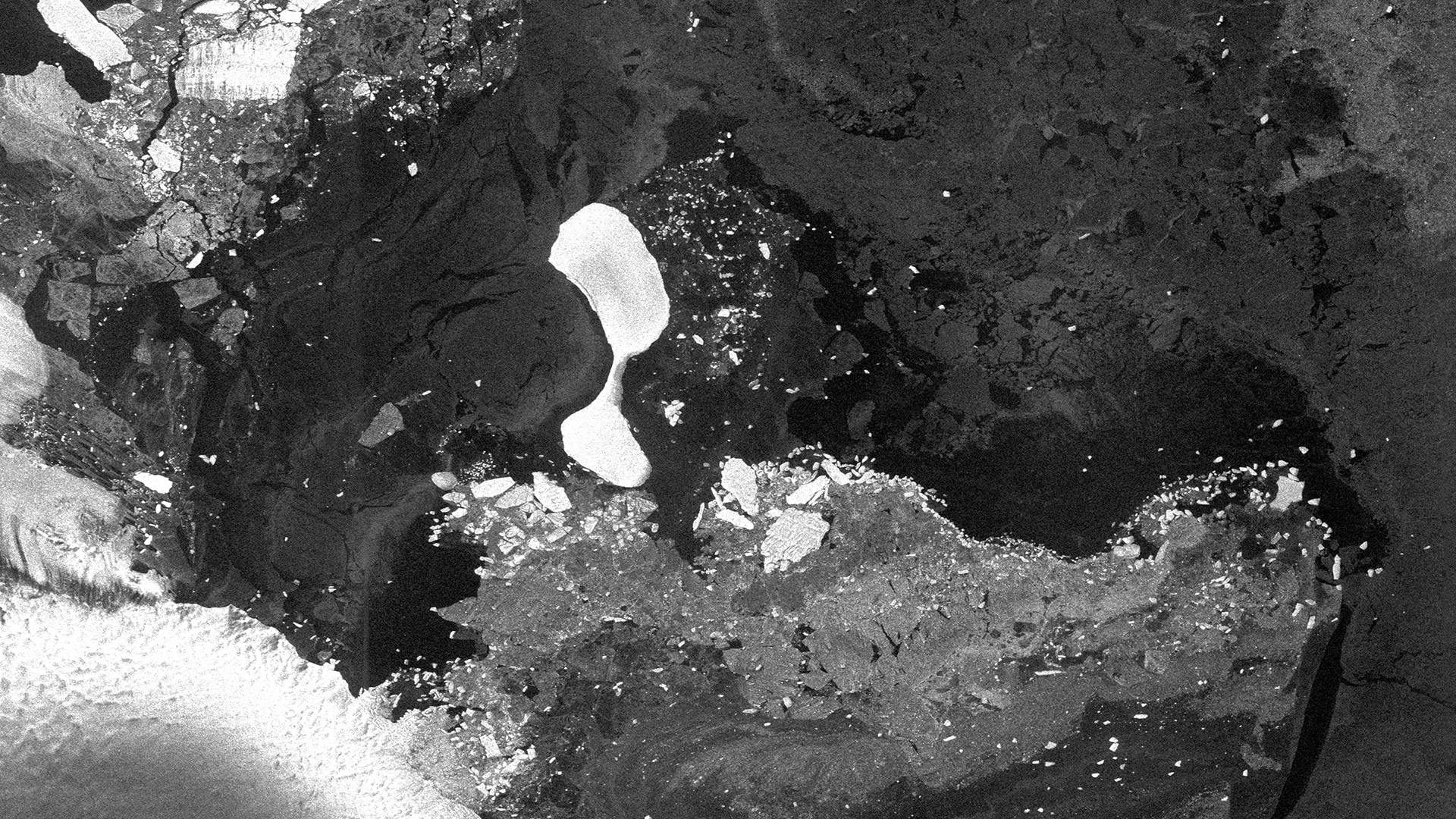
Scheduled to launch on a SpaceX Falcon 9 rocket in late-2026, the MDA CHORUS™ mission will collect and integrate data from multiple satellites, providing the most extensive radar imaging capacity available on the market in one system, ranging from industry leading broad area coverage with a 700 km-wide swath to sub-metre very high resolution spotlight images.
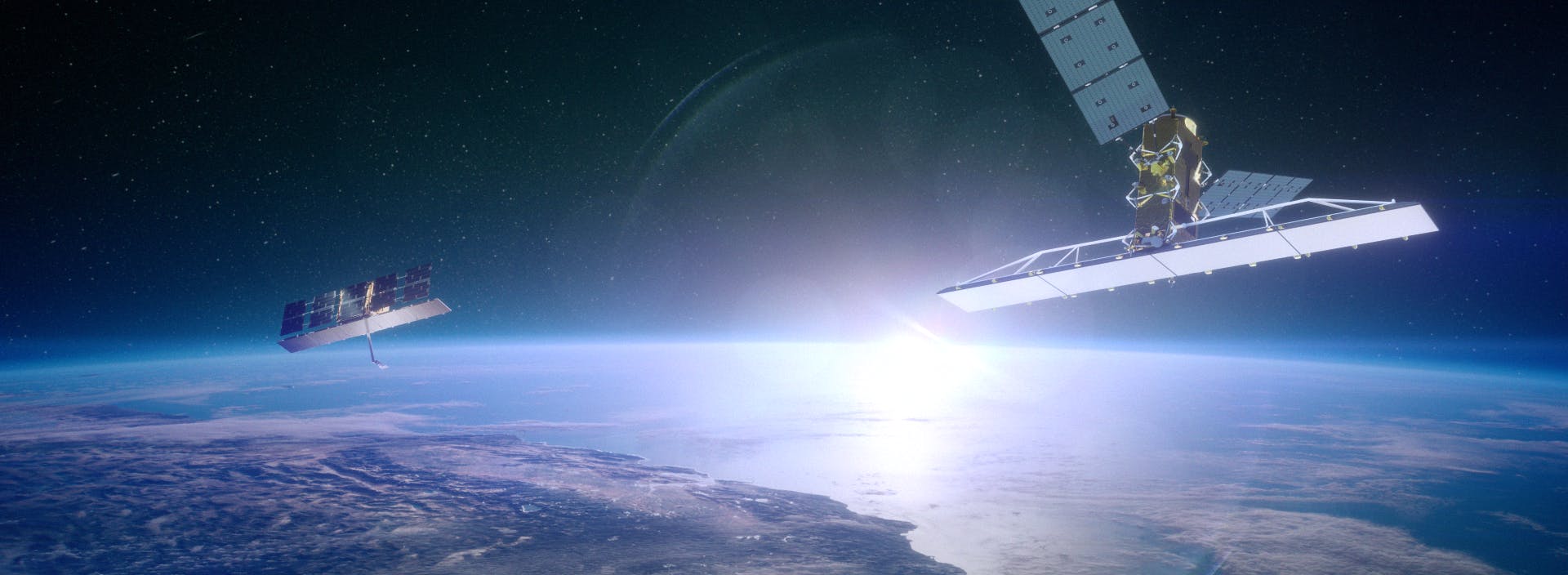
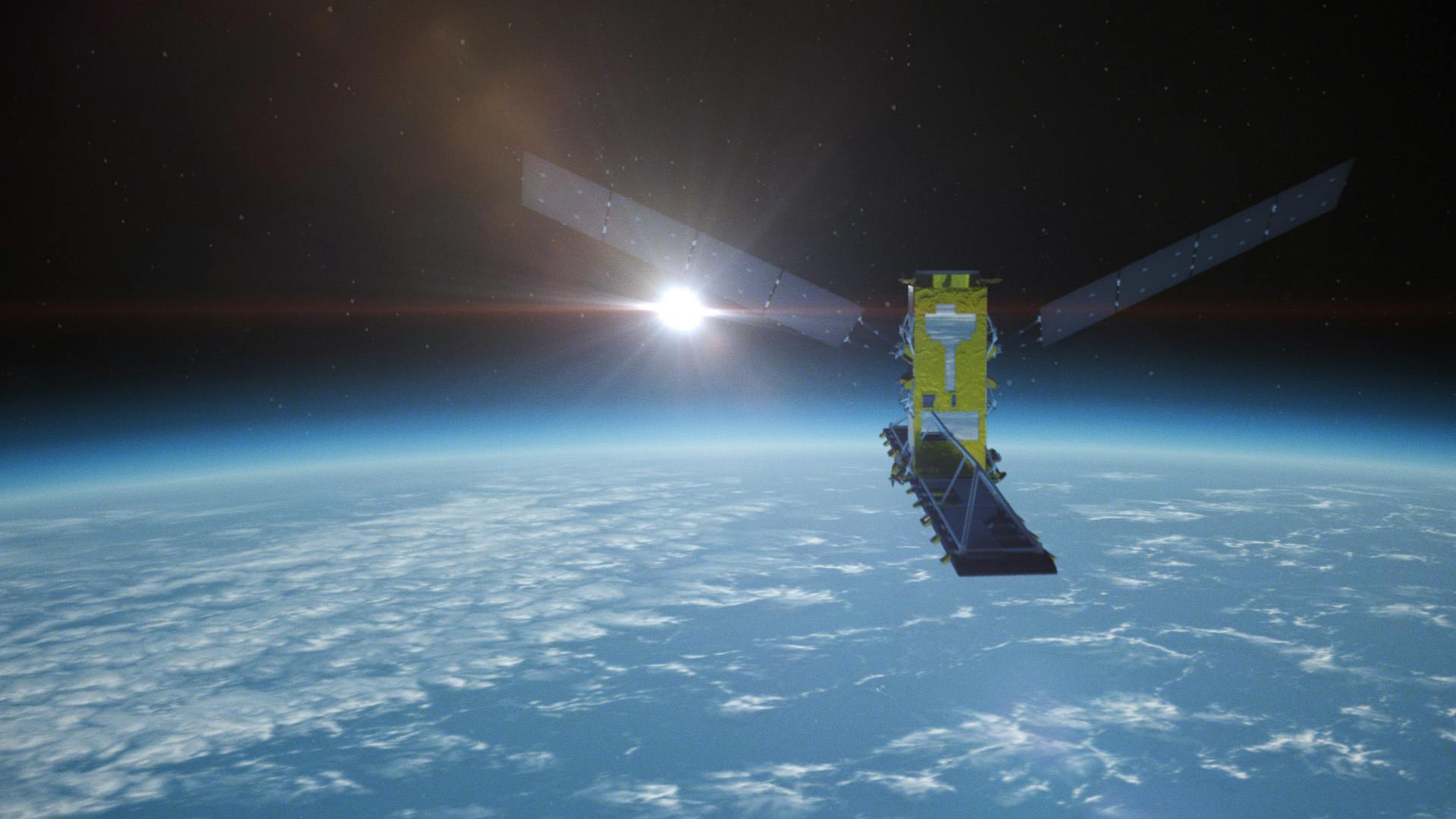
The MDA CHORUS™ constellation will include a C-band and an X-band SAR satellite operating in the same unique mid-inclination orbit with the identical ground track providing day or night imaging in all weather conditions.
This revolutionary approach will provide higher imaging performance, higher frequency imaging, variable imaging times, more imaging time per orbit, fast tasking, faster delivery timelines and Near Real-Time (NRT) data exploitation aided by machine-learning and artificial intelligence. Adding a trailing high-resolution X-band SAR satellite to a powerful C-band SAR satellite will enhance image correlation and also unlock new use cases, including tipping and cueing techniques that will allow our leading broad area sensor to monitor an area of interest (the “tip”) and to zoom in on objects of interest (the “cue”) using the trailing high resolution sensor.
The advanced system will provide invaluable data and analytics services for a wide range of users, including governmental organizations, international defence and security agencies, environmental monitoring bodies and commercial entities.
Applications for MDA CHORUS™ data
Maritime surveillance: MDA CHORUS™ is equipped to provide precise vessel detection and tracking capabilities. This is vital for monitoring maritime traffic, ensuring compliance with regulations and addressing issues, such as illegal fishing and ship tracking for national security purposes.
Disaster response: MDA CHORUS™ plays a crucial role in disaster response efforts. Its rapid geospatial analysis capabilities aid in assessing the extent of damage caused by natural disasters, such as earthquakes, hurricanes and flooding. This data is instrumental in coordinating timely relief efforts.
Environmental monitoring: MDA CHORUS™ ability to capture high-resolution images and data aids in environmental monitoring, including tracking changes in land use, deforestation and the impact of climate change on ecosystems.
Geospatial analytics: The geospatial data generated by MDA CHORUS™ supports a wide range of geospatial analytics applications. This includes urban planning, resource management and infrastructure monitoring.
Get in touch
We're excited to share the incredible capabilities of MDA CHORUS™ with you.
If you'd like to dive deeper into this groundbreaking mission, explore its technical capabilities or discuss potential collaboration, our team of experts is ready to provide you with all the information you need.